Unknown stays unknown
Model altitude units and observation provenance explicitly. Missing or stale weather and incomplete terrain coverage remain distinguishable from confirmed values.
Geospatial systems & interface design
Case study / 02
Mission planning with context, and edits you can follow.
A geospatial design connecting route constraints, terrain coverage, weather provenance and versioned edits across multiple views.
Technologies & concepts
Technical demonstration / selected source
Private repository
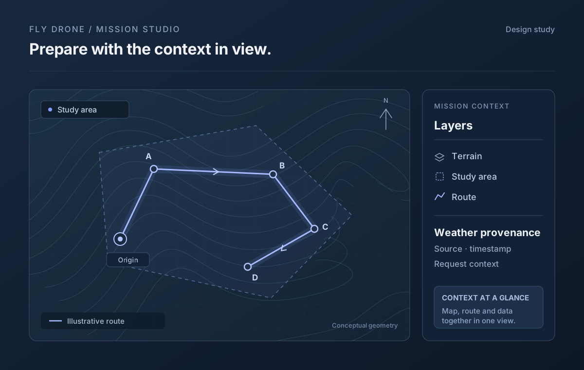
01 / The context
A route on a map is only part of a mission plan. Ground elevation, spatial zones, stale observations and changes from another editor all affect how the information can be interpreted. This source showcase explores domain contracts and interface state that preserve those distinctions.
02 / Engineering decisions
Model altitude units and observation provenance explicitly. Missing or stale weather and incomplete terrain coverage remain distinguishable from confirmed values.
A per-mission save queue retains pending changes and serializes requests. Mission revisions make conflicting edits visible before accepting an update.
Window sessions distinguish monitoring from exclusive editing ownership. Mission archives and summaries are stored independently of the current view.
03 / System view
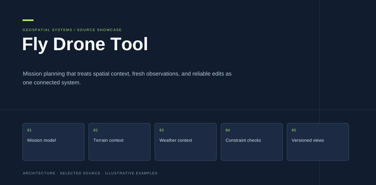
Illustrative architecture from the project presentation. It describes the selected design; it does not imply a deployed service or a measured operational result.
View the full-size diagramMission model
Terrain context
Weather context
Constraint checks
Versioned views
04 / Selected artifacts
Python domain, geometry, weather and SQLite persistence modulesTypeScript save queue, window session and terrain modulesSelected tests documenting geometry and state-handling casesArchitecture visual and static technical presentation05 / Scope & limitations
Curated source and design showcase. The selected modules are not a packaged flight-control application. Hardware adapters, simulator binaries, local databases and deployment scripts are excluded. Mission-state examples are illustrative and do not establish flight clearance, obstacle detection or operational validation.
The GitHub repository is private. Its link works for authorized collaborators; other visitors can contact me to discuss the project.
Next case study / 03
The next conversation